Happy Valley Permanent Vegetation Plots
Walker, D.A., Auerbach, N.A., Nettleton, T.K., Gallant, A., Murphy, S.M. 1997. Happy Valley Permanent Vegetation Plots: Site factors, physical and chemical soil properties, plant species cover, photographs, soil descriptions, and ordination. Arctic System Science Flux Study, Institute of Arctic and Alpine Research, University of Colorado, Boulder, CO.
Home //
Preliminary vegetation classification //
Vegetation communities and sites //
Legend for environmental variables //
Environmental data //
Relevé size, percent cover //
Soils data //
Relevé species data //
Appendices:
Field descriptions of soils //
Plot and soil photos //
Plot location map
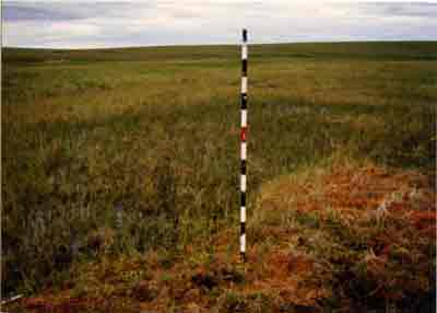
General Description, Plot HV-50
 |
| ||||||||||||||
| Enlarge landscape photo | |||||||||||||||


