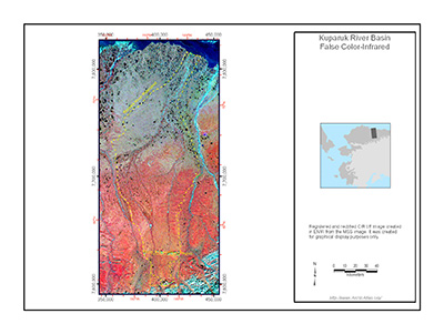
Kuparuk River Basin LANDSAT

| Available data: | ||||
| |
GE |
Metadata |
GIS data |
GIS data |
Kuparuk River Basin False Color-Infrared (CIR) image - Registered and rectified CIR tiff image created in ENVI from the MSS image. It was created for graphical display purposes only.


