Toolik Lake Grid
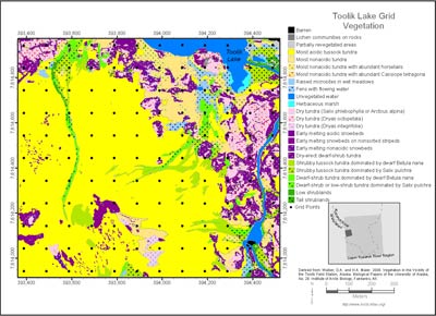
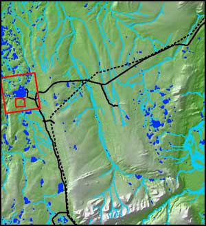
Figure 1. Location of the Toolik Lake Area (large red rectangle) and Toolik Lake Grid (small red rectangle) within the Upper Kuparuk River Region.
Enlarge image
Research within the Toolik Lake Grid:
About the map
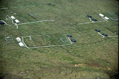
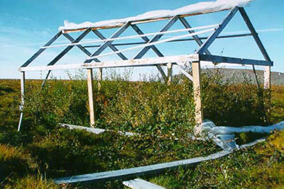
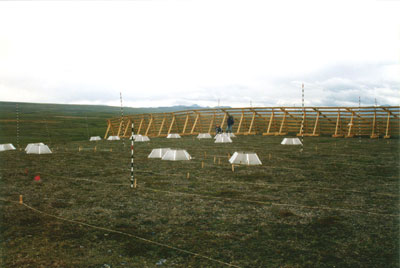
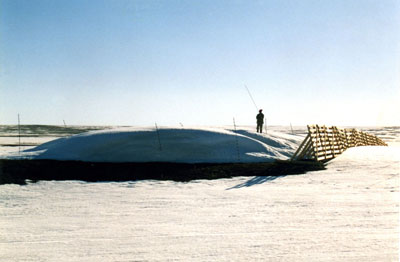
The Toolik Lake grid map focuses on the 1.2-km2 research grid on the south side of Toolik Lake. This area is one of the principal intensive research areas at the Toolik Lake Field Station. It includes many experimental research sites where long-term observations and experiments are being conducted, including the greenhouse and snow-fence experiments. The grid was constructed in 1989 to provide geographic referencing for experimental plots and to provide a sampling scheme for periodic measurements of snow, active layer and plant communities.
Sixty-five plant communities were recognized (minimum mapping unit approximately 2.5 m2) in the field (GIS codes are in the second column of the legend) and were then grouped into the 24 units appearing on the map. The vegetation units are primarily at the plant-community level (compared to the physiognomic level for the maps of the Upper Kuparuk River Region and the Toolik Lake Area). Several of the dominant plant communities in the Toolik Lake area are shown in the photos (Fig. 10-16). Details of the methods, sources for aerial photos, orthophoto topographic map, cross-reference to the Braun-Blanquet syntaxonomic plant community names (Walker et al. 1994) and other information are on the Arctic Geobotanical Atlas website, http://www.arcticatlas.org/.
Themes:
The map includes the following detailed geobotanical themes:


