Maps
This section contains maps and GIS Data. The maps can be downloaded as PDF files or as geographic information system (GIS) files, and selected maps can be accessed with GoogleEarth.
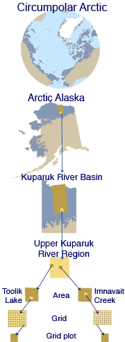
Choose an area or theme from the list below, or select an area from the image to the right.
Not sure which map to look at? See the Map Catalog, where you can select maps by region or by theme.
*Denotes published map.
 |
|
| The University of Alaska Fairbanks is an affirmative action/equal opportunity employer and educational institution. | |
|
Loading
| |
December 8, 2011