
Photo Library
Graphics
Graphics || Map Images || Vegetation Map Unit Photos || Plant Community Photos || Circumpolar Arctic Bioclimate Subzone Photos || Photos-Vegetation TFS || Toolik Lake Permanent Vegetation Plot Photos || Imnavait Creek Permanent Vegetation Plot Photos || Happy Valley Permanent Vegetation Plot Photos
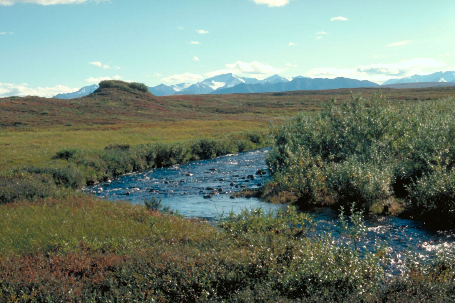
Toolik Lake Area Typical landscapes in the Upper Kuparuk River region

 |
|
| The University of Alaska Fairbanks is an affirmative action/equal opportunity employer and educational institution. | |
|
Loading
| |
Last modified: November 1, 2012